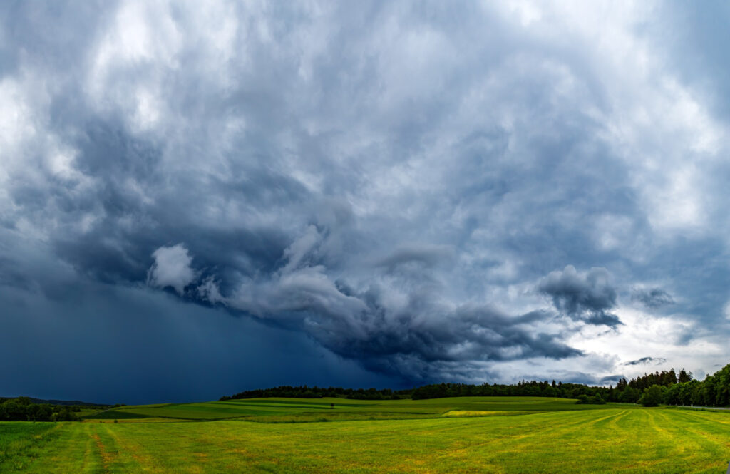
A historic, multi-hazard storm system is unleashing extreme weather across the central United States, prompting rare high-risk warnings and leaving millions bracing for days of torrential rains, destructive tornadoes, and life-threatening flash floods.
In a dramatic display of nature’s fury, forecasters report that an unusually slow-moving low-pressure system combined with a massive influx of Gulf moisture is generating conditions ripe for multiple rounds of severe weather. Across Arkansas, Missouri, Tennessee, and neighboring states, residents are experiencing a barrage of tornado warnings, with several tornado emergencies already declared in areas like northeast Arkansas and west Tennessee. The National Weather Service (NWS) has cautioned that parts of the Mid-South could see “generational flooding”—rainfall totals equivalent to several months’ accumulation in just a few days—alongside the tornado threat, which experts warn could produce multiple long-track, EF3+ tornadoes later today and into the night.

Meteorologists describe the setup as “once-in-a-generation” due to the perfect storm of atmospheric instability, strong wind shear, and an unyielding moisture plume streaming northward from the Gulf. In areas like Memphis and Little Rock, state officials have already declared emergencies and urged residents to take shelter immediately. “This is not your everyday storm,” one NWS meteorologist noted. “We’re talking about an event that could redefine what we know about severe weather impacts in our region.”
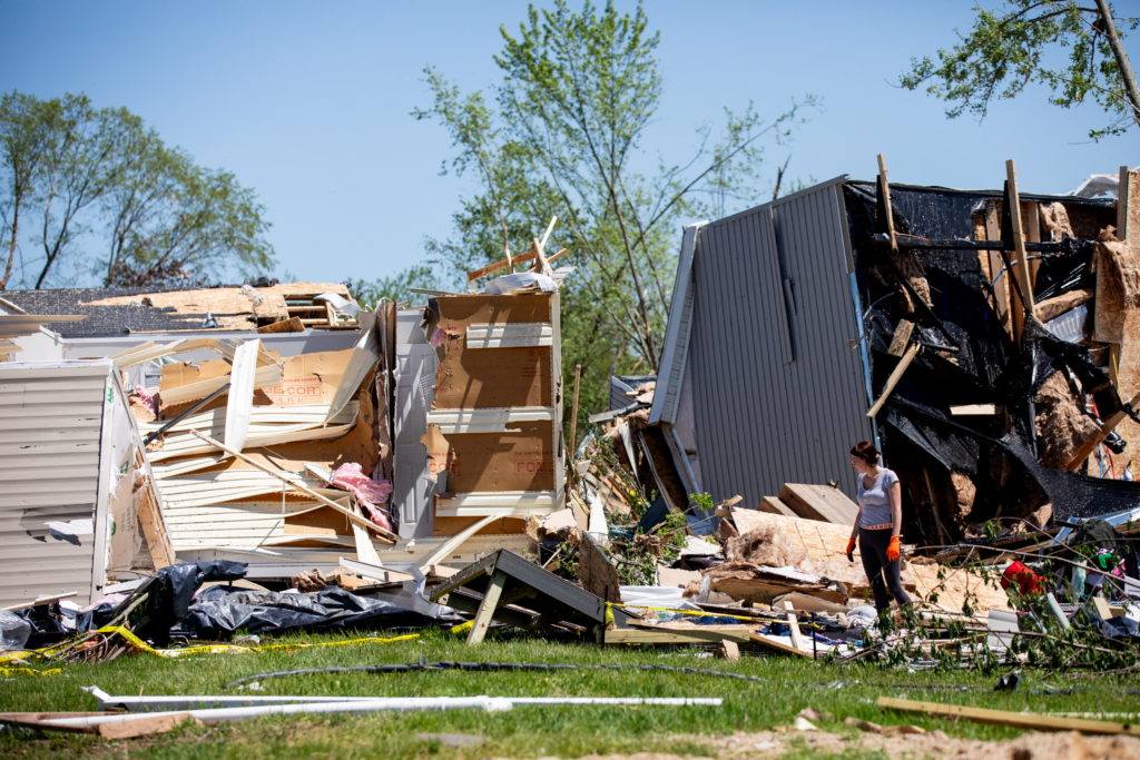
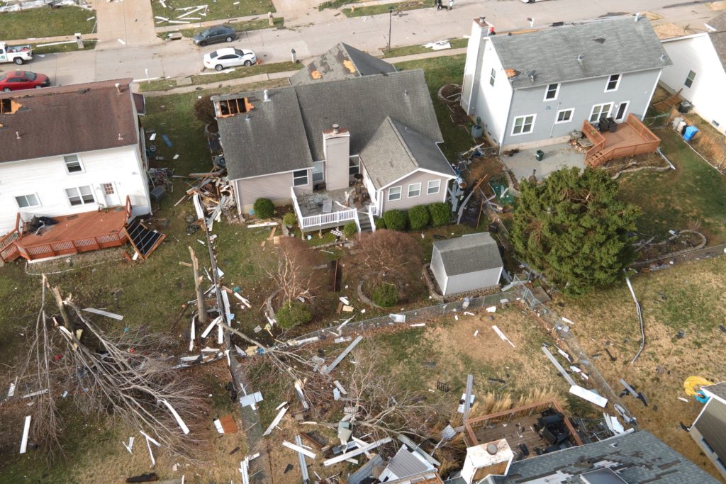
As the storm system lingers, communities across the central U.S. are grappling with widespread power outages, downed trees, and significant structural damage. In Missouri, early reports indicate that buildings have been heavily damaged by both high winds and tornado strikes, while in parts of Arkansas, debris has been seen flying thousands of feet in the wake of violent wind gusts. In addition to tornadoes, heavy rain is expected to persist into the weekend, raising concerns about flash floods that could inundate neighborhoods and disrupt daily life for millions of Americans.

Beyond the immediate threat of tornadoes, experts warn that the “training” of heavy thunderstorms—where storms move repeatedly over the same area—could lead to historic rainfall totals. Some forecasts suggest that affected regions might receive up to 15 inches of rain by Sunday, a scenario that experts liken to a once-in-a-lifetime event. The cascading impacts of such intense rainfall include swollen rivers, roadway flooding, and even the potential for riverbanks to breach, leading to prolonged inundation in vulnerable communities.
Local governments and emergency services are scrambling to update residents with real-time alerts, urging individuals to have a plan in place. Tornado sirens are on high alert across many cities, and state officials emphasize the importance of staying informed via local news and official social media channels. With the situation evolving rapidly, experts advise that residents in flood-prone and tornado-threatened areas remain vigilant and prepare for additional rounds of severe weather into the weekend.
This unprecedented weather event, compounded by the ongoing challenges of climate change, is a stark reminder of the increased frequency and intensity of extreme weather in today’s warming world. Meteorologists point to recent research indicating that warmer air holds more moisture, thereby amplifying the potential for such devastating storms. As the storm system continues to evolve, authorities are closely monitoring the situation to update risk assessments and deploy emergency resources where they are needed most.

For those caught in the storm’s path, the message is clear: seek shelter immediately, avoid low-lying areas, and heed local advisories. As the Heartland braces for further impacts, communities across the region are coming together to weather what could be one of the most extreme events in recent memory.
References:
https://www.reuters.com/sustainability/climate-energy/tornadoes-heavy-rains-rip-across-central-southern-us-2025-04-03/ https://nypost.com/2025/04/02/us-news/historic-flash-flooding-warnings-loom-over-the-mid-south/
https://www.axios.com/2025/04/02/midwest-south-severe-weather-floods-tornadoes


